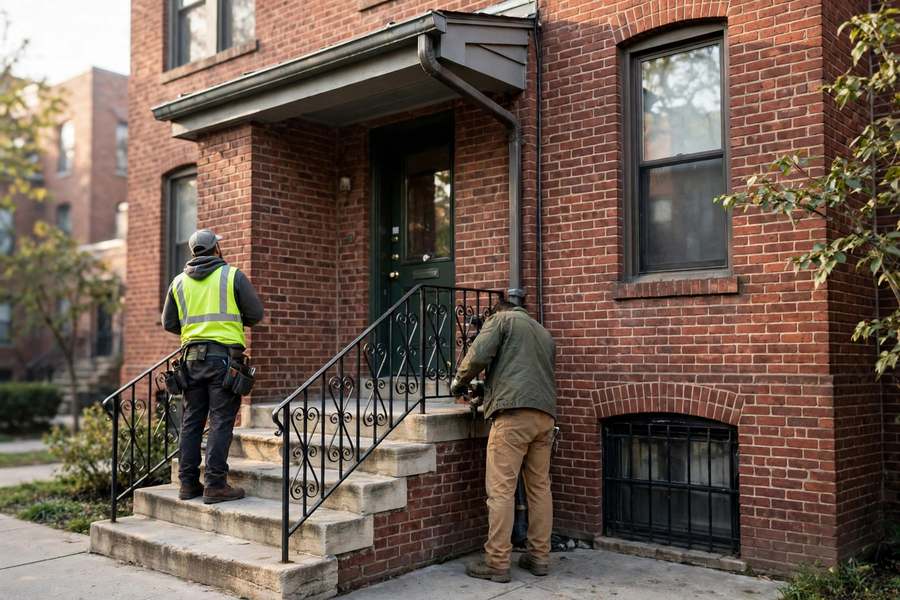
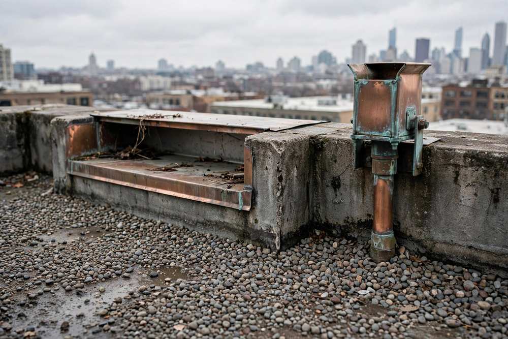
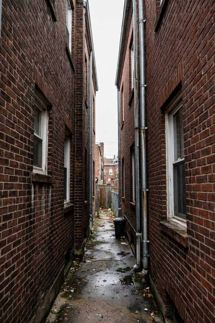
The 640-acre McAllister farm was purchased in 1893, the river was straightened and relocated in work completed in 1907, and the Kimball terminal boom filled the area with bungalows and two-flats at a furious pace: population rose from 7,000 in 1910 to 26,676 in 1920 and past 55,000 by 1930, and the area was almost completely developed by the 1920s. The stock today is brick bungalows, two- and three-flats, courtyard apartments including a 32-unit building at 3001 W Lawrence, cottages, and small apartments. Homes of this era typically split by form: pitched eave gutters on bungalows and cottages beside flat parapet and scupper drainage on two-flats and courtyards, so gutter repair is planned per building form on the same street.
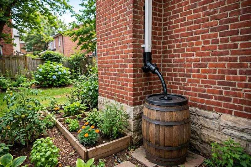
Full basements and aging clay-tile laterals make disconnection, extensions, and grading relevant here, following City-encouraged practice, and gutter work is never presented as a cure for sewer surcharge: gutters manage roof water, and they do not prevent sewer backups. The Albany Park Stormwater Diversion Tunnel, an 18-foot-diameter tunnel about a mile long under Foster Avenue completed in 2018 by the Metropolitan Water Reclamation District and the City, relieves overbank river flooding affecting 336 structures; it addresses river flooding, not interior sewer backup. Downspout discharge and grading still deserve care on every lot.
No residential landmark district has been verified in Albany Park proper, and the North Mayfair district sits on the Foster Avenue boundary zone shared with North Park, not firmly assigned to either area. Courtyard-apartment density brings association scope for shared systems, while bungalow side streets stay owner-managed, and the two are planned differently. The Kimball terminal boom left a density gradient from the terminal outward, and each block is read on its own mix of bungalows, flats, and courtyards.
Explore Albany Park services →